Our website uses cookies. A cookie is a small text file which will be saved on your computer or mobile device when you visit our website. More information? Read our cookie policy.
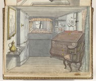
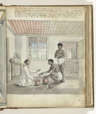
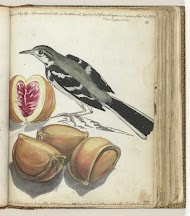
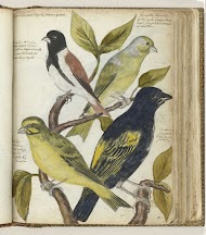
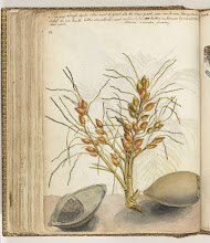
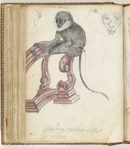
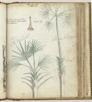
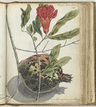
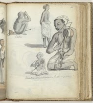
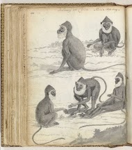
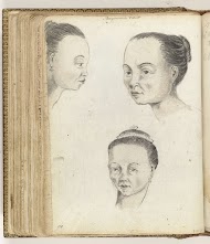
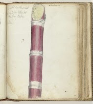
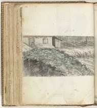
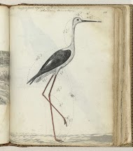
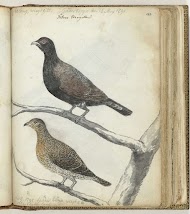
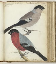
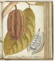
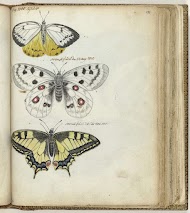
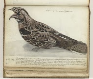
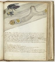
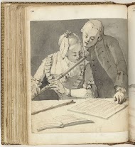
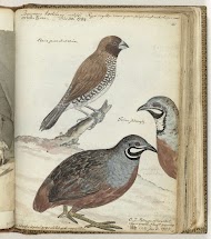
Penteking van kaart met opschrift van steden, dorpen, rivieren met vermelding van reistijd. Onderdeel uit het schetsboek van Jan Brandes, dl. 1 (1808), p. 25.
Please note that this provenance was formulated with a special focus on provenance research for the years 1933-45 and could therefore be incomplete. There may be more (mostly earlier) provenance information known in the museum. In case this item has an uncertain or incomplete provenance for the years 1933-45, the Rijksmuseum welcomes information and assistance in the investigation and clarification of the provenance of all works during that era.